File:Africa land cover location map.jpg
Jump to navigation
Jump to search

Size of this preview: 635 × 600 pixels. Other resolutions: 254 × 240 pixels | 508 × 480 pixels | 813 × 768 pixels | 1,084 × 1,024 pixels | 1,525 × 1,440 pixels.
Original file (1,525 × 1,440 pixels, file size: 523 KB, MIME type: image/jpeg)
Summary
| Description |
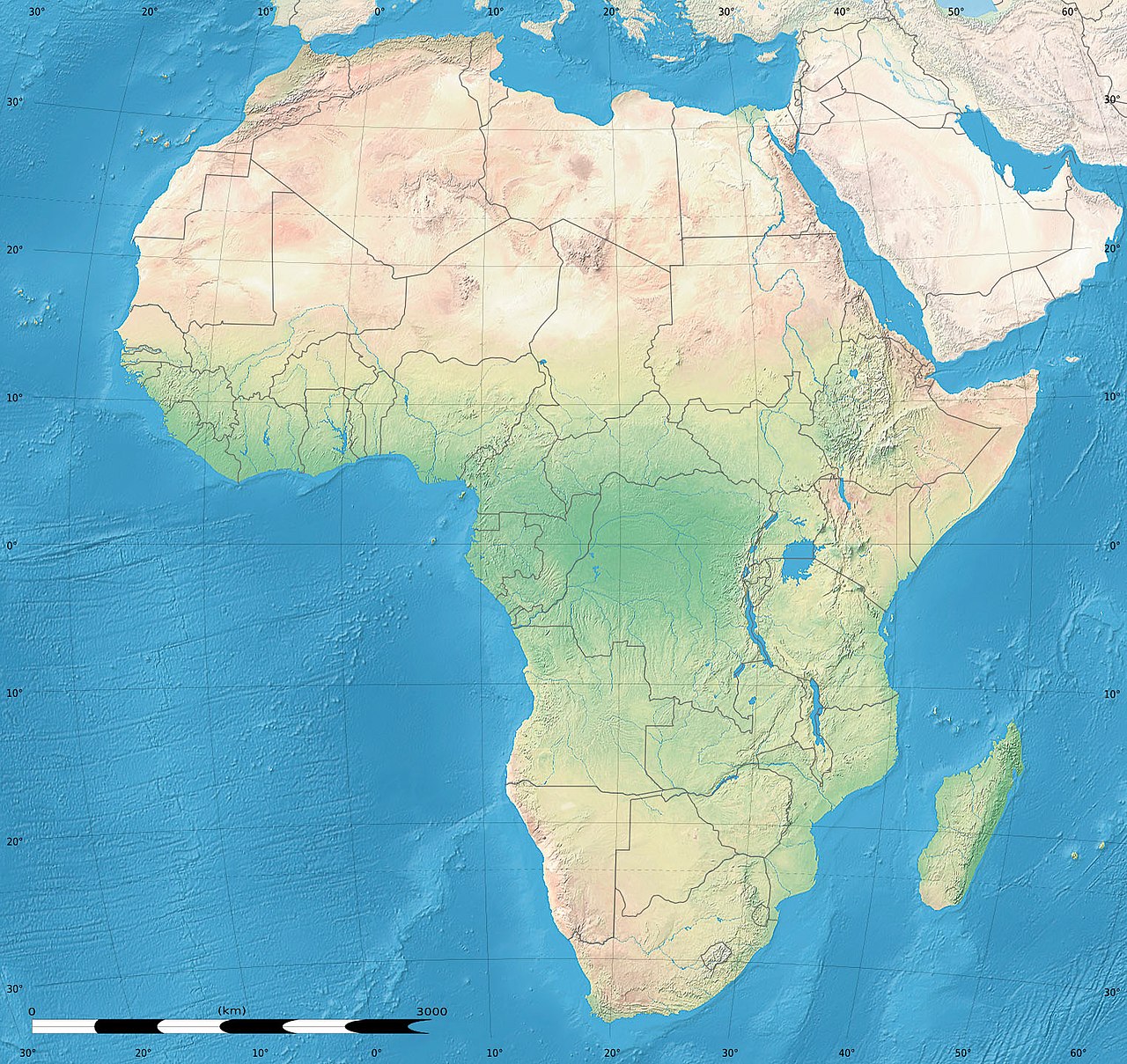
English: Simulated land cover map of Africa showing the natural aspect of the land with bathymetry as it could be seen from space; for geo-location purposes. Borders as in July 2011.
Français : Carte de la couverture du sol simulée de l'Afrique montrant l'aspect naturel des terres telles qu'elles seraient vues depuis l'espace, avec bathymétrie ; destinée à la géolocalisation. Frontières telles qu'en juillet 2011. Lambert azimutal equal-area projection, WGS84 datum
|
| Date | July 2010, updated 2011-07 |
| Source |
Blank background map: Natural Earth II (public domain) by Tom Patterson, US National Park Service |
| Author | Tom Patterson and Eric Gaba (Sting - fr:Sting) |
| Permission (Reusing this file) |
Public domain |
| Other versions |
|


| Camera location | | View this and other nearby images on: OpenStreetMap |
|---|
Licensing
| This work was previously under Public Domain, or a Free License. It has been digitally enhanced and/or modified. This derivative work has been (or is hereby) released into the public domain by its author, Sting at the French Wikipedia project. This applies worldwide. In some countries this is not legally possible; if so:
|
File history
Click on a date/time to view the file as it appeared at that time.
| Date/Time | Thumbnail | Dimensions | User | Comment | |
|---|---|---|---|---|---|
| current | 18:54, 14 July 2011 | | 1,525 × 1,440 (523 KB) | wikimediacommons>Sting | Sudan/South Sudan 07-2011 border update |
File usage
The following page uses this file: